
Gothic Quarter
The ring roads are the wall, and the city dates the same wall twice, twelve years apart
You cannot see Barcelona's medieval wall, but you walk on it every day. The city's own street register tells you where it ran — and disagrees with itself about when it was built.
Barcelona has no city wall. It has four wide streets with a name nobody translates, and those streets are the wall — the footprint of it, at any rate, which in a city that demolished the thing itself is the closest you get.
They are called rondes. Sant Antoni, Sant Pau, Universitat, Sant Pere. If you have been in Barcelona for two days you have crossed at least one without noticing that you were crossing a line that decided, for six hundred years, who was inside and who was outside.
The Ajuntament’s street register — the Nomenclàtor, which is the city explaining its own street names to itself — is unusually plain about this.
What the register actually says
Ronda de Sant Antoni: a ronda opened over the site of the glacis of the wall built in 1377.
Ronda de Sant Pau: built on the wall of 1389.
Ronda de la Universitat: built around 1872 near the land of the glacis of the Tallers wall.
Ronda de Sant Pere: in memory of the part of the wall and the bastion of Sant Pere, situated at the far point of the old patrol road.
Read those four sentences again and you have the whole geography. Three of them describe a road laid over the glacis — the open, sloping killing ground that a fortification keeps clear outside itself, so that nobody can approach unseen. When the wall goes, the glacis is the one strip of land in a packed medieval city that nobody owns and nobody has built on. It is, in effect, a ready-made boulevard waiting to happen.
Three of the four names were approved on the same day: 23 January 1872. The city named its new ring in one sitting.
The thing everyone gets slightly wrong about the word
You will be told that ronda means the patrol path that ran around the wall, and that the four rondes are that path.
The register does not say that. Of the four, only Sant Pere mentions l’antic camí de ronda. The other three are described purely by where they sit relative to the wall or its glacis. The name is not a system applied to four streets; it is one street’s actual history, which the others then shared.
It is a small correction and we make it because this is exactly the kind of tidy explanation that gets repeated until it is furniture. The Gothic Quarter has an entire industry of them.
Where the city contradicts itself, and why it matters
Here is the fact worth carrying away.
The Sant Antoni entry dates the wall to 1377. The Sant Pau entry dates the wall to 1389.
Same register. Same institution. Same enclosure — the wall that took in the Raval, the western half of the old city, the market gardens and the hospital and eventually the shipyards. Twelve years apart.
This is not sloppiness worth sneering at. It is what a wall actually is. A wall is not built; it is being built, for decades, in sections, as money arrives and wars threaten and stretches get finished out of order. The Portal Nou entry says the second enclosure was made between the middle of the thirteenth century and the middle of the fourteenth, and that the run down to the sea was delayed by another sixty years.
A hundred and fifty years of construction cannot have a date. Anyone who gives you one — including a municipal database, twice, differently — is rounding.
And the demolition was the same, backwards
Look at how two gates come down.
The Portal de l’Àngel, 1859, like the rest of the medieval walls. The Portal Nou, 1855, with the rest of the second medieval wall.
Both entries say with the rest. Four years apart. So “the rest” was still going on in both years, which tells you the demolition was a process — commissions, contracts, arguments about who paid, plots sold off — and not the single triumphant morning the story usually implies.
The wall took a century and a half to build and a generation to remove. Both halves of that are the same fact about cities: they change at the speed of money, not at the speed of decisions.
What is left, and where
Almost nothing above ground, and the Generalitat’s architectural inventory is precise about the almost.
Of the walls and bastions of the modern period, it says, remains
are preserved in some stretches standing, integrated inside the present buildings where they are located. The rest of the bastions and associated structures are underground.
That is a better sentence than any tour patter. Sections of Barcelona’s fortifications did not survive as monuments. They survived as somebody’s party wall. The city grew over them, used them, plastered them, and they are still holding weight inside buildings whose owners may or may not know what the thick bit is.
⚠️ What we are not going to do is send you to a list of addresses where you can see a bit of wall. We looked, and the citable material does not support it: the inventory describes the phenomenon, not the postcodes. We would rather say so than invent a walking route.
The one gate still standing is a different story, and it survived for a reason that has nothing to do with heritage — it was inside a military installation.
How to actually see this on foot
Stand where two systems meet. The Roman wall is the inner ring and a good deal of it is still visible for free. The medieval walls are the outer rings. Barcelona is one of the few cities in Europe where you can walk from one enclosure to the next in fifteen minutes and watch the street pattern change character as you cross.
Follow a ronda and watch the buildings. On one side, the tight irregular grain of the old city. On the other, the ruled lines of what got built once the wall was gone. The road is the seam.
Look at where the gates were. The Portal de l’Àngel gate stood about twenty-five metres below the start of the present avenue, which is now the busiest shopping street in the city. Nothing marks it. You are queueing for a fitting room in a gatehouse.
Then read the street names. The trade names of the Gothic Quarter tell you what happened inside the wall; the rondes tell you where the edge was. Between the two you can reconstruct most of a city that no longer exists.
Where this sits on a walk
The wall is the reason the Gothic Quarter is the shape it is, the reason the Rambla is where it is — it was the ditch outside one of them — and the reason the Born was worth demolishing in 1714.
Our Gothic Quarter walk runs Monday and Wednesday afternoons and starts at Plaça Nova, in front of the Roman towers; the after-dark version is Friday and Saturday nights. We are closed on 25 December and 1 January.
Where this comes from
- Ronda de Sant AntoniAjuntament de Barcelona · Nomenclàtor de les vies públiquesThat the street is named after the gate of the convent of Sant Antoni and is a «ronda oberta damunt de l'emplaçament dels glacis de la muralla construïda el 1377», with the name approved on 23/01/1872.
- Ronda de Sant PauAjuntament de Barcelona · Nomenclàtor de les vies públiquesThat the street recalls an old gate of the same name «obert a temporades» and that it was «construïda sobre la muralla de 1389» — twelve years later than the date the Sant Antoni entry gives for the same enclosure.
- Ronda de la UniversitatAjuntament de Barcelona · Nomenclàtor de les vies públiquesThat it was «construïda vers el 1872 prop dels terrenys dels glacis de la muralla dels Tallers», and that the name was approved on 23/01/1872.
- Ronda de Sant PereAjuntament de Barcelona · Nomenclàtor de les vies públiquesThat it recalls the section of wall and the bastion of Sant Pere, «situat al punt extrem de l'antic camí de ronda», and the defence of Barcelona in 1697, 1713 and 1714. It is the only one of the four whose entry mentions a patrol road.
- Avinguda del Portal de l'ÀngelAjuntament de Barcelona · Nomenclàtor de les vies públiquesThat the gate belonged to the second walls, built in that stretch «cap al 1260-70», and that it was demolished in 1859 «com la resta de les muralles medievals».
- Muralla i estructures defensives d'època moderna de BarcelonaGeneralitat de Catalunya · Inventari del Patrimoni Arquitectònic (Invarquit), fitxa 40115That the closing of the sea wall line dates from the sixteenth century; that bastions and forts were attached to the late medieval wall around its perimeter, especially at the gates; and that «les restes de les muralles i d'algun baluard es conserven en algun tram en alçat, integrats a l'interior de les finques actuals on s'ubiquen. La resta de baluards i estructures associades se situen al subsòl».
Everything above that carries a date, a figure or a name is checked against these before it is published. Where we could not find a source, the page says so.
Quick answers
- Where are Barcelona's medieval walls?
- Mostly under the ring roads. The Ajuntament's street register says the Ronda de Sant Antoni was «oberta damunt de l'emplaçament dels glacis de la muralla construïda el 1377» and that the Ronda de Sant Pau was «construïda sobre la muralla de 1389». The Ronda de la Universitat runs «prop dels terrenys dels glacis de la muralla dels Tallers». The wall came down; the road took its footprint.
- When was the Raval wall built?
- The city gives two dates. The Sant Antoni entry says 1377; the Sant Pau entry says 1389. Same register, same enclosure, twelve years between them. We are not going to pick one for you — but it is worth knowing that a wall is a decades-long public works project, not an event with a date.
- Does «ronda» mean the patrol path around the wall?
- Not according to the register, and this is the small thing everyone gets slightly wrong. Of the four rondes, three are described by their relationship to the wall or its glacis, and only the Ronda de Sant Pere mentions «l'antic camí de ronda» — the old patrol road. The name is not a definition applied to a system; it is what one of them was actually called.
- When were the walls demolished?
- Over years, not in a single act, and the register shows it. The Portal de l'Àngel came down in 1859 «com la resta de les muralles medievals», while the Portal Nou was destroyed in 1855 «amb la resta de la segona muralla medieval». Both entries say «with the rest», four years apart.
- Can you still see any of the medieval wall?
- Some of it, in places you would not look. The Generalitat's architectural inventory says that of the walls and bastions of the modern period, «les restes de les muralles i d'algun baluard es conserven en algun tram en alçat, integrats a l'interior de les finques actuals on s'ubiquen» — standing sections, swallowed by the buildings that grew around them. The rest is underground.
- Is the Roman wall the same thing?
- No, and they are four centuries and two enclosures apart. The Roman wall is the inner ring, still visible in several places for free. The medieval walls are the outer rings that took in the Raval and the Ribera, and they are the ones that were demolished in the nineteenth century.
The tours this piece is about
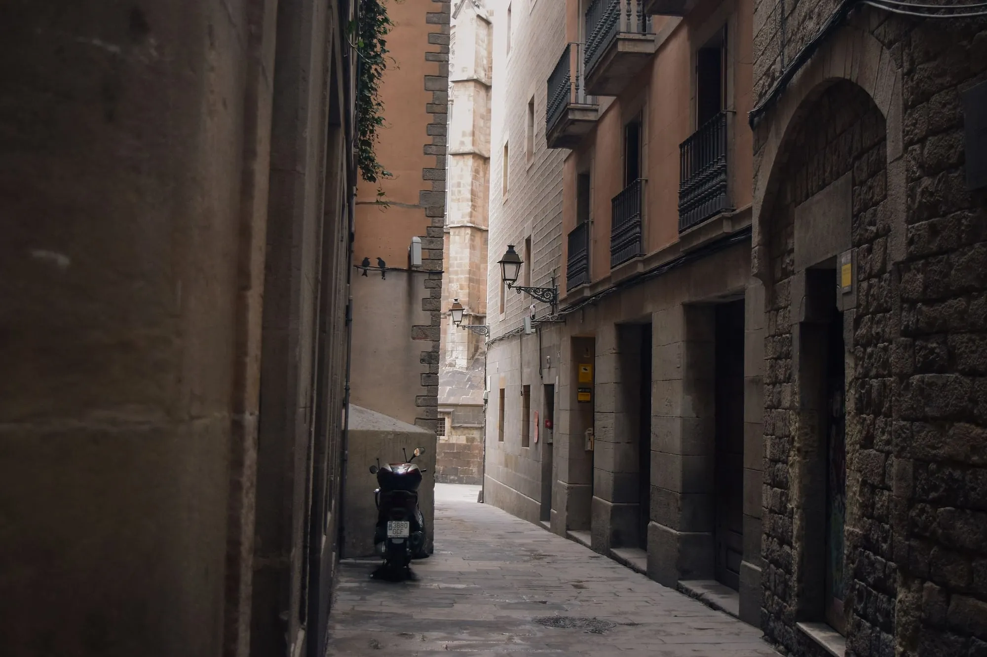
The Gothic Quarter: a neighbourhood that invented itself
Barcelona's most photographed bridge dates from 1928.
- How long it lasts
- 2 h
- Runs in
- EN · ES · CA
- Price
- 15 €
Never more than 20 people
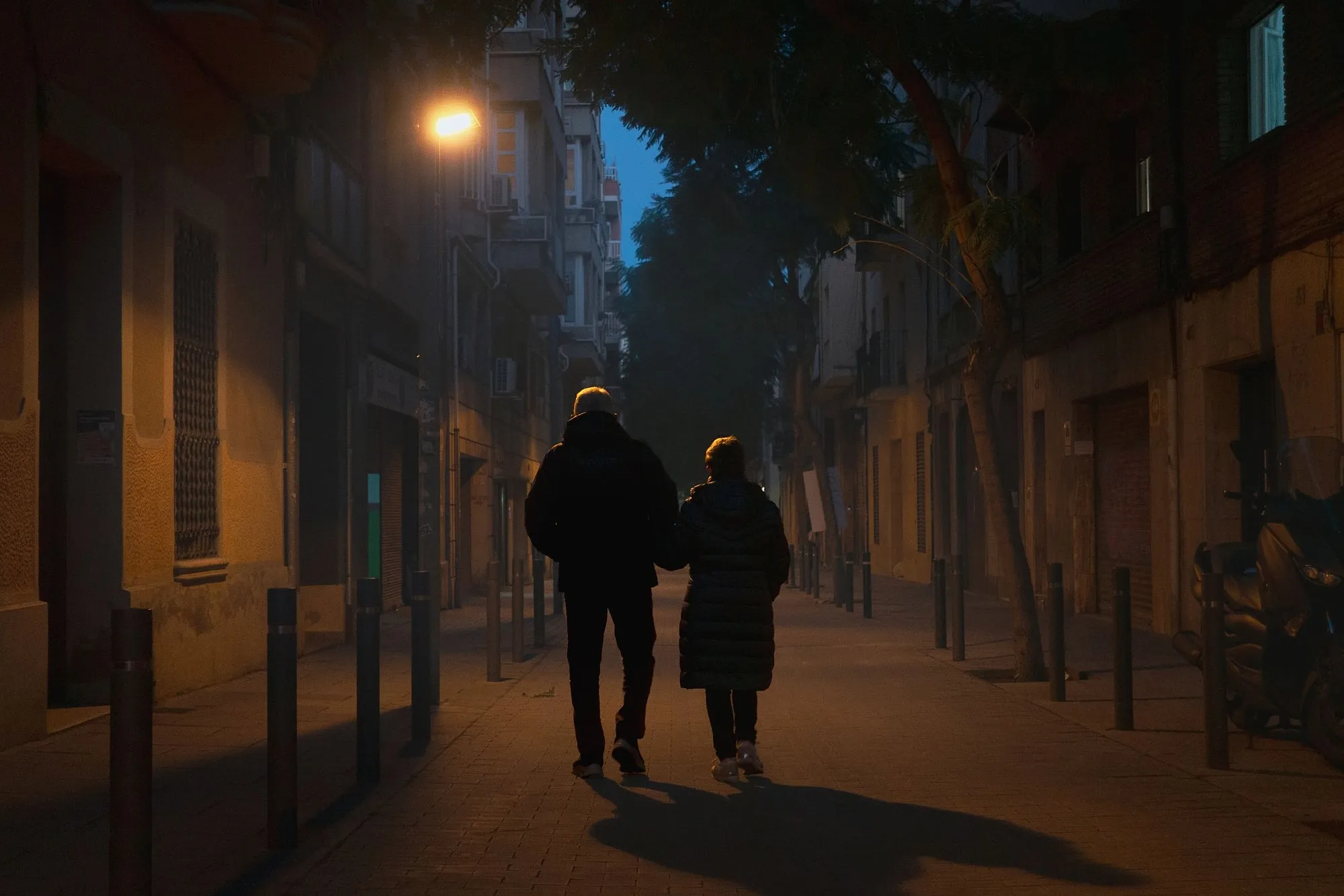
The Gothic Quarter after dark
By day it is a crowded stage set. By night it is a narrow city.
- How long it lasts
- 2 h
- Runs in
- EN · ES · CA
- Price
- 18 €
Never more than 20 people
More in the journal
The Gothic Quarter
- The Roman city is still there, and most of it is free to look at
- The city history museum has eighteen buildings and most visitors have been to one
- One medieval gate is still standing, and it survived because the army was using it
- Thirty galleys at once, and the superlative everyone uses is not the one the Generalitat wrote
- The Gothic Quarter at night is a different neighbourhood, and it is free
- Barcelona is switching off 10,101 tourist flats, and it commissioned a study of what that will cost