
Gothic Quarter
The Roman city is still there, and most of it is free to look at
Ten hectares, two walls built three hundred years apart, and a fish-sauce factory under the square where the kings lived. The oldest layer of Barcelona is also the cheapest one to visit.
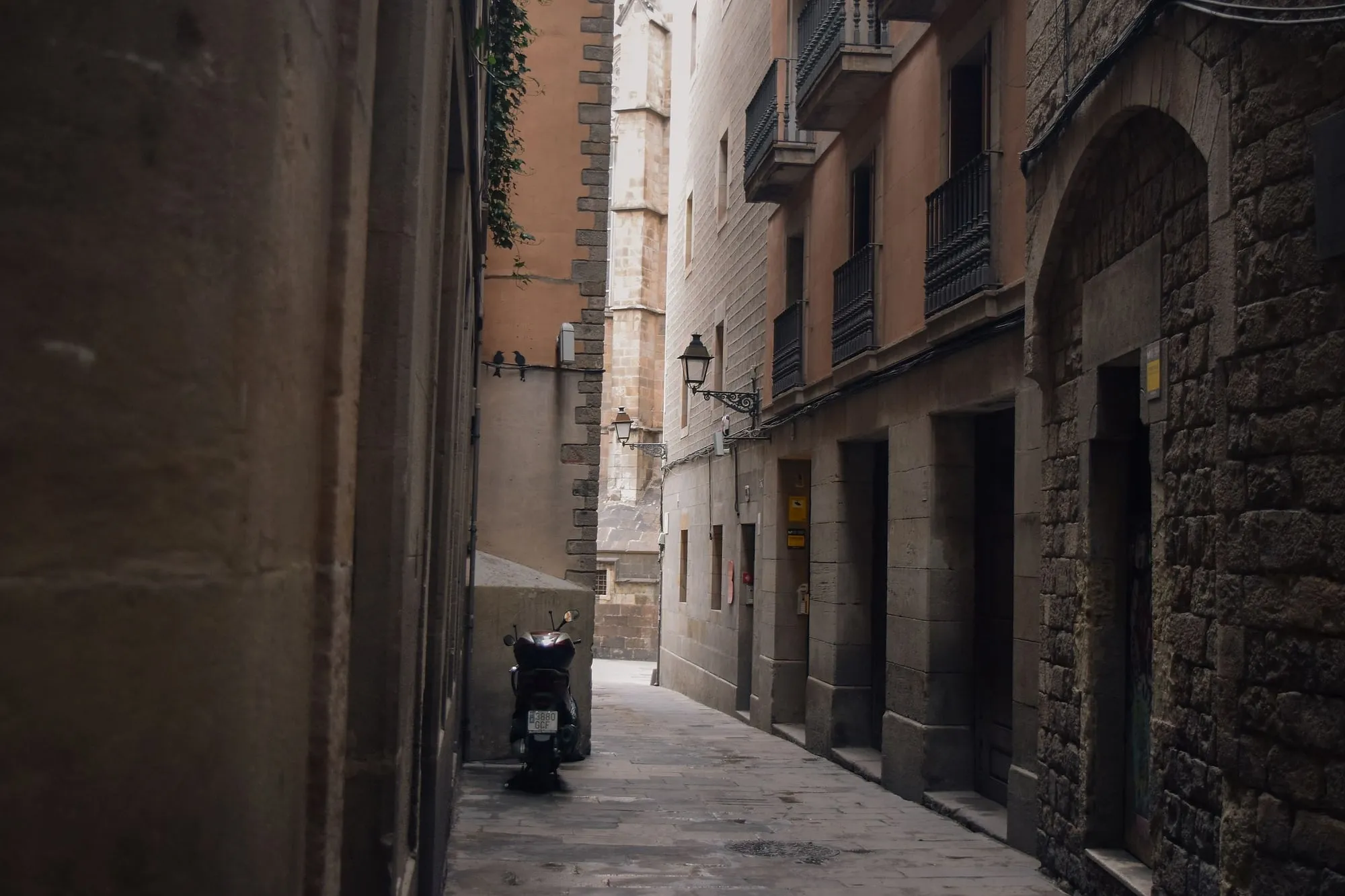
Everyone arrives in the Gothic Quarter looking for the Middle Ages. The oldest thing in it is four hundred years older than that, it is standing in the open air, and hardly anybody stops at it because it is on the way to somewhere else.
The colony, and its ridiculous name
Barcelona began as a Roman colony founded under Augustus at the end of the first century BC. Its full name was Colonia Iulia Augusta Faventia Paterna Barcino, which is six words for a settlement of about ten hectares.
That is the number worth keeping — the museum says ten hectares, the Catalan encyclopedia says twelve, and neither will give you a year for the founding. A twenty-minute walk takes you round the entire city. Everything in this neighbourhood that reads as ancient and sprawling sat inside something you could cross while a kettle boils.
Two more things that reorganise the picture. In the first century AD the sea came to within about a hundred and fifty metres of the wall — this was a coastal town in a way it has not been for a very long time. And the population: the only institutional figure anyone publishes is the encyclopedia’s, between three and a half and five thousand people at the city’s second-century peak. The museum gives none. Guidebook numbers run from one thousand to fifteen thousand, and none of them is anybody’s.
There are two Roman walls, and only one of them is impressive
This is the thing that clears up most of the confusion, and almost nobody explains it.
The first wall, dated 10–5 BC. Modest: a curtain a metre and a third to two metres thick, around nine metres high, running about 1,135 metres — and, so far as the archaeology knows, exactly one tower. It was the wall of a small colony in a province where nothing much was expected to happen.
The second wall, late Roman. The empire had stopped feeling safe. The old wall was not replaced — around two more metres were added to its thickness, taking it to roughly four, and the circuit was studded with seventy-six towers, spaced seven to fourteen metres apart and standing, on the museum’s own estimate, at least eighteen metres high.
Two footnotes on that paragraph, because both of them are instructive.
Seventy-six, not seventy-eight. Both numbers are currently published by the same museum on different pages. Nineteenth-century plans counted seventy-three; a 1967 plan proposed seventy-eight and the towers were numbered on that basis for decades; surveying from the 1990s gives seventy-six, and the museum’s 2010 monograph says so explicitly.
And the date is moving. The museum’s public pages and that same monograph say fourth century. Its own peer-reviewed journal published a paper in 2014 arguing for the last third of the third century, and the city’s archaeological service has followed. This is a live scholarly question, not somebody’s mistake, so we will say late Roman and leave it there.
What we will not tell you is how much survives. You will read that a third of it is still standing, or a half. No institution publishes a figure — not a length, not a percentage, not a surviving-tower count. The only quantified thing the museum has said is a proposal to create a wall walk of about 400 metres between Plaça Nova and Plaça dels Traginers.
Where to stand, in the order that walks well
The museum publishes its own twelve-point Roman route, and ten of the twelve are public street. The best of them:
Plaça de Ramon Berenguer el Gran and Carrer de la Tapineria. The tallest, most legible run, with towers, in the open beside a public square. If you look at one piece of Roman Barcelona, look at this one. And look at the street sign while you are there: the city’s register says Tapineria is named after the workshops that made tapins, cork-soled shoes worn by women — one of a couple of dozen trades still written on these walls.
Except that it is not a survival — it is a reveal. The museum publishes photographs of the same spot from 1917 and 1941, and the difference between them is a consequence of driving Via Laietana through the old town. The wall had been inside the buildings all along; what changed was that the buildings came off.
Carrer del Sotstinent Navarro. The circuit continuing round the south-east, tighter and darker, with the wall built straight into the houses and a palace sitting on top of it.
Plaça dels Traginers. A single circular tower defending the eastern angle of the town, standing in a small square, and one of the most satisfying objects in the old city.
Carrer de Duran i Bas. Four arches of the Roman aqueduct, embedded in a party wall. Nobody looks up.
Pati Llimona, on Carrer del Regomir — wall and gate, inside a civic centre you can walk into, and alongside them the two public bath complexes the city museum dates between the middle of the first century and the beginning of the second. That site is one of eighteen the museum runs across the city, and most of them are free.
Also Carrer del Correu Vell, Baixada del Caçador and Carrer de la Palla, all of them wall, all of them free, all of them empty.
And then there is Plaça Nova, where it gets complicated
The two drum towers by the cathedral are the most photographed Roman thing in the city, and almost every account of them is slightly wrong. Including, until we checked, ours.
The gate is older than the towers. It is fundacional — Augustan — and the pedestrian archway that survives is Augustan stonework, two and a half metres high and under a metre wide. The two semicircular towers were fitted onto the existing gate when the wall was reinforced in late antiquity.
There is no stretch of Roman wall between them. The curtain that once joined the two towers, with its gateway and a room built over it, was demolished in 1823. What you walk through today is the gap where that was.
The upper floors are not datable. The towers were heightened repeatedly in phases nobody can date, and the Romanesque-looking windows near the top were inserted in the early twentieth century — around 1909 in one tower and around 1920 in the other.
The aqueduct arch beside them is a reconstruction. The city’s own conservation report on that tower puts it flatly: the arch is a recreation made last century. The pier next to it was restored in 1958.
And you can only see any of it because the houses came off. The buildings encasing this corner were cleared between 1942 and 1957, and the façades were remodelled between 1955 and 1962 under the architect Adolf Florensa.
If that pattern sounds familiar it is because it is the same operation, thirty years earlier and two hundred metres away, that produced the bridge on carrer del Bisbe in 1928.
The four columns, and the one that was assembled out of rubble
On Carrer del Paradís, through an unmarked doorway, in the courtyard of a hikers’ club, there are four fluted Corinthian columns — nine metres tall, on a three-metre podium — from the temple of the imperial cult, on the highest point of the Roman town. Admission is free.
Three of them were found here, at the end of the nineteenth century, during building works for the club: preserved, in fragments, inside the medieval and later buildings that had grown around them. It is the same swallowing that happened to the medieval walls further out, whose surviving stretches are inside private buildings. The podium beneath is part of the original. The museum is careful not to use the phrase original position, and so are we.
The fourth one is not really a fourth column. In the mid-nineteenth century the Royal Academy of Fine Letters gathered fragments of the temple out of rubble; around 1879 those fragments were assembled into a column and erected in Plaça del Rei, where it stood for about seventy-seven years. In 1956 it was moved to join the other three.
So one quarter of the most Roman-looking object in Barcelona is a Victorian reassembly of loose stones. It is still Roman stone. It is not a column that fell over and got put back.
The fish-sauce factory under the kings
Under Plaça del Rei — the ceremonial square, with the great hall and the royal palace on it — there is an excavated Roman and late-antique city, holding remains from the first century BC to the seventh century AD.
The museum’s own centre guide describes it as a walk of 4,000 m² through the subsoil of the present city, taking in the two walls the Roman city had, one of the first century and the other of the third, and its streets and insulae. That is the museum’s wording and it is narrower than the version that circulates — four thousand square metres of walk, not of excavated city. This page used to carry the wider one.
What is down there is not palaces. The museum dates them: a fullonica and dye works, second century; a fish-salting and garum works, third century; a winery, second half of the third century; and above them the episcopal complex, fourth to eighth centuries, with its baptistery.
That is the joke of the square, and it is a good one. The medieval kings of Aragon held court directly on top of an industrial estate that made fish sauce and washed clothes.
It came to light by accident, during the works to rebuild a house that had been carried there from another street — the story of which is its own piece.
Worth adding, because the museum says it about its own work: the plan of Roman Barcelona it publishes is labelled a hypothesis. Even the street layout is a reasoned proposal, not a settled map.
The dead, outside the walls
At Plaça de la Vila de Madrid, five minutes from La Rambla, a sunken rectangle holds a Roman burial road — the graves lining a minor route that left the city towards what is now Sarrià, dated by the museum to the first to third centuries AD.
It is outside the line of the wall, and that is not a coincidence: Roman law forbade burial inside the city, so the roads out of every Roman town were lined with graves.
The monuments are cupae — stone forms that copy a wooden vat, which the museum describes as belonging to people of middle and humble station. Not the ones with the marble. A stream silted the whole thing over, which is why it survived, and it was rediscovered in the late 1940s during the post-war remodelling of the square, and left where it lay.
The enclosure itself has its own admission. But the square is sunken and you can stand at the railings and look straight down into it, which is the only place in central Barcelona where you are looking at Roman people rather than Roman engineering.
The honest caveat, in the words of the people who wrote the survey
The standard Catalan reference work on the monument says this about the reconstructed sectors: the historicist look of the restoration altered or destroyed, without recording it, a good part of the post-Roman modification, and the architectural reconstruction of the Roman phase completed many sectors often in an undocumented way.
Read plainly: a great deal of what reads as Roman Barcelona at street level is Roman fabric that was uncovered, consolidated and completed between roughly 1917 and 1962, most of it under one architect.
That is not a debunking. It is the more interesting story, and it is the one the institutions actually publish.
What we are not going to tell you
- A founding year. The museum gives a bracket and elsewhere says around 10 BC, and means the around.
- How much of the wall survives. No institution publishes it.
- A population figure of our own. The encyclopedia’s three-and-a-half to five thousand is the only one anybody stands behind.
- The exact height of Mont Tàber, the low rise the temple stood on. There is a millstone set in the pavement on Carrer del Paradís marking the summit, and that marker is real. The number that circulates with it is not something we could find an institution publishing.
- That the medieval street plan preserves the Roman grid. The two main Roman axes are recoverable in the modern streets, and the museum says so carefully. The flat version of that claim is not supported.
Why this is on a walking-tour website
Because the question people actually arrive with is how much of this is real, and the answer is more interesting than yes or no. Some of it is Augustan. Some of it is 1958. Some of it is Augustan stone arranged in 1958, with a Victorian column standing next to it.
Working that out street by street is what our Gothic Quarter walk does, with an actor rather than a clipboard, starting at the gate on Plaça Nova. The same route with the streets empty does it at night, when you can hear how the wall changes the sound.
If you are still deciding whether the neighbourhood earns your morning at all, that argument is in is the Gothic Quarter worth it, and the walkable order of everything in it is what to see in the Gothic Quarter.
The forum itself, and the Roman tombstone holding up a Gothic doorway on Plaça del Pi, are in the squares of the Gothic Quarter.
Two pages that extend this one: Plaça de Sant Jaume, which sits on the crossing of the two Roman axes and was cleared in the 1820s, and the geology of Montjuïc, whose fault comes from the seaward slope of the same Tàber hill the Roman city was founded on.
Where this comes from
- BàrcinoGran Enciclopèdia CatalanaThe roughly twelve hectares inside the walls and the 3,500 to 5,000 inhabitants at its height. It is the encyclopedia's figure, attributed, not a number of ours.
- Fitxa 934 — Casa Clariana-PadellàsAjuntament de Barcelona · Carta Arqueològica de BarcelonaThat the house stood at Carrer dels Mercaders 25 and was moved stone by stone to Plaça del Rei in 1930 — the excavation that found what is underneath the square.
Everything above that carries a date, a figure or a name is checked against these before it is published. Where we could not find a source, the page says so.
Quick answers
- Where can you see the Roman wall in Barcelona for free?
- In about ten places, all of them public street. The tallest and most legible runs are at Plaça de Ramon Berenguer el Gran and along Carrer del Sotstinent Navarro; there is more at Plaça dels Traginers, Carrer del Correu Vell, Baixada del Caçador, Carrer de la Palla and Plaça Nova. Four arches of the Roman aqueduct survive built into a party wall on Carrer de Duran i Bas.
- When was Barcelona founded?
- As a Roman colony under Augustus. The city's own museum gives a bracket of roughly 15 to 10 BC and elsewhere says simply around 10 BC; the wall's first phase is dated 10 to 5 BC. Nobody publishes a year, so anybody quoting you one is being more confident than the institutions are.
- How big was Roman Barcelona?
- The museum says about ten hectares; the Catalan encyclopedia says about twelve. Either way you can walk the whole circuit in twenty minutes. In the first century the sea came to within about a hundred and fifty metres of the wall.
- Are the Temple of Augustus columns in their original place?
- Three of the four were found where they stand, preserved inside the later buildings that grew around them, and the podium under them is original. The fourth is not a fourth column at all in the ordinary sense: it was assembled around 1879 out of temple fragments recovered from rubble, stood in Plaça del Rei for about seventy-seven years, and was brought to join the others in 1956.
- How many towers did the Roman wall have?
- Seventy-six on the current count. Older plans said seventy-eight and the museum's own route page still does, but its 2010 monograph settles on seventy-six and explains why the older number was wrong. It is the sort of detail that tells you how recent a lot of this knowledge is.
The tours this piece is about
The Gothic Quarter: a neighbourhood that invented itself
Barcelona's most photographed bridge dates from 1928.
- How long it lasts
- 2 h
- Runs in
- EN · ES · CA
- Price
- 15 €
Never more than 20 people
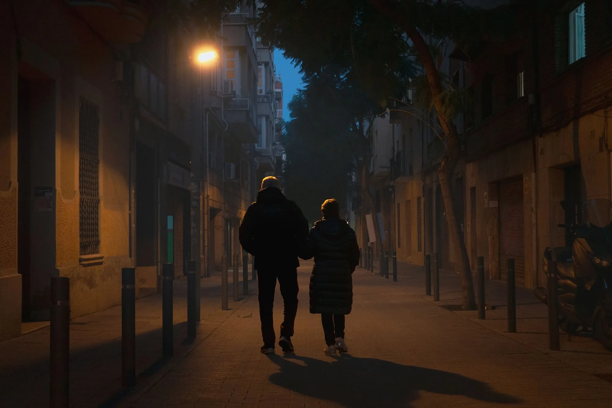
The Gothic Quarter after dark
By day it is a crowded stage set. By night it is a narrow city.
- How long it lasts
- 2 h
- Runs in
- EN · ES · CA
- Price
- 18 €
Never more than 20 people
More in the journal
The Gothic Quarter
- The number everyone quotes about this roof is not published by anyone who would have to stand behind it
- Barcelona has written down, to two decimal places, how much of this market is allowed to be a snack bar
- The city history museum has eighteen buildings and most visitors have been to one
- The ring roads are the wall, and the city dates the same wall twice, twelve years apart
- One medieval gate is still standing, and it survived because the army was using it
- Thirty galleys at once, and the superlative everyone uses is not the one the Generalitat wrote