
Gothic Quarter
The engineer everyone credits with the Barceloneta designed a neighbourhood that was never built
A grid of flat-fronted houses on land that did not exist, built for people the army had evicted, kept deliberately low so the fortress could shoot over it.
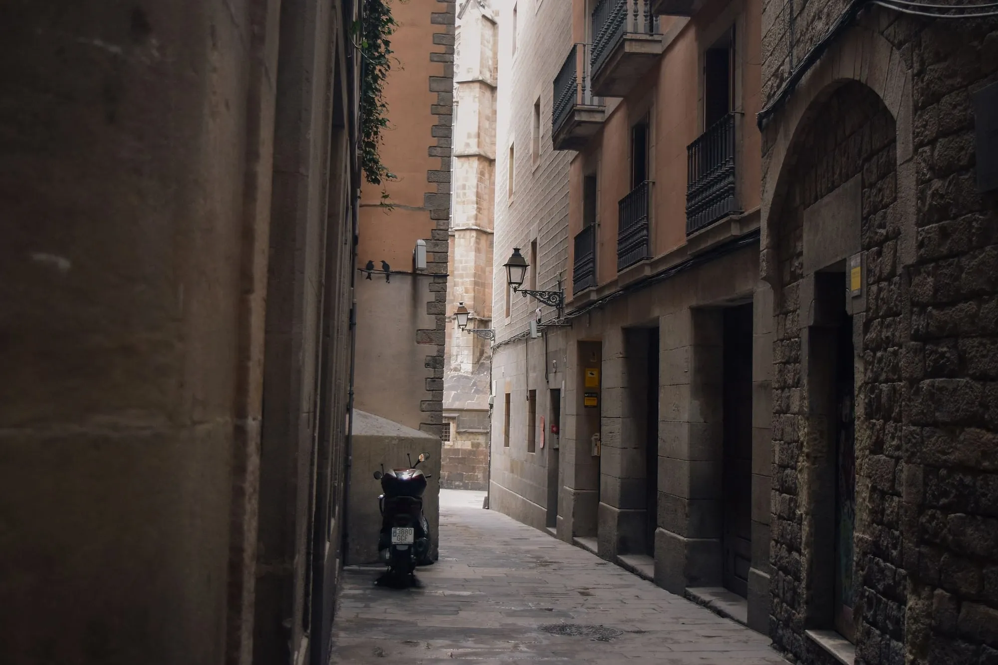
The Barceloneta is the most legible neighbourhood in Barcelona. One grid, one house type, one date. You can read the whole thing off the street in ten minutes, which is why it is worth knowing that almost everybody attributes it to the wrong man.
Verboom drew it. Cermeño built it. They are thirty-five years apart
The story you will be told is that after 1714 the Bourbons demolished the Ribera to build the Ciutadella, evicted its inhabitants, and built them the Barceloneta.
The first two are true. The third is a compression of thirty-five years and two different projects.
The Gran Enciclopèdia Catalana:
The captain general, the marquis of Castel-Rodrigo, thought, in 1718, of a district for those who had lost their house — many of them seafaring people — and commissioned the project from the military engineer Próspero de Verboom, the author of the Ciutadella. This project was not carried out, because of the war with Navarre, and because people found accommodation in other places, given the fall in the number of inhabitants the city experienced.
Read the second reason again. The rehousing scheme was abandoned partly because there were fewer people to rehouse. Barcelona had lost enough population that the problem solved itself, in the way problems solve themselves after a siege.
Then:
It was not until forty years later, in 1753, that the Barceloneta was definitively urbanised… The new district was the work of the military engineer Juan Martín Cermeño, and the works were directed by the engineer Francisco Paredes.
⚠️ And there are two Cermeños, which is the easiest mistake in the neighbourhood. The district is Juan Martín Cermeño’s, the father. The church of Sant Miquel del Port, in the middle of it, is Pedro Martín Cermeño’s, the son. Same surname, same profession, same square.
What had changed by 1753 was money. The encyclopaedia says Barcelona’s population doubled between 1718 and 1758, on cotton manufactures and the recovery of trade with America. The 1718 plan was drawn for a shrinking city; the 1753 one was executed by a growing one.
The houses are that shape because of the guns
This is the fact that reorganises the whole neighbourhood once you know it.
The blocks are long and thin, proportion 1 to 9, running north-south, parallel to the quay. They are divided into square plots of 8.4 metres. The streets are 7.4 metres wide. And the original houses were ground floor plus one storey —
so that they would not obstruct the action of the batteries of the Ciutadella.
That is not urban design. That is a field of fire, expressed as housing. The Bourbon fortress a few hundred metres away had to be able to shoot over the top of the district it had made necessary. Everything else follows: no interior courtyards, each house open to two streets, a rigorous set of regulations fixing the building materials, the segmental-arched openings, the volutes over the windows, the small pediment over the balcony, and the exterior paintwork in bright colours.
And the ownership arrangement matched. Plots were granted freehold, free of ground rent, by permission of the captain general — who held jurisdiction over the district, even though it was administratively part of Barcelona. Two barracks, one of cavalry and one of infantry, built between 1764 and 1779, held 1,200 men each.
The Ciutadella and the Barceloneta are not a fortress and a neighbourhood. They are one installation. The fortress is the other half of this story, and the excavation under the Born market is what its construction destroyed.
The military jurisdiction is why it looks old
Barcelona did not preserve the Barceloneta out of taste. It preserved it out of paperwork.
The residential space kept the original urban fabric and grew horizontally in bands parallel to the beach, maintaining the module and the type of building established at the moment of the district’s creation, given that until 1859 military jurisdiction continued over the Barceloneta.
A hundred and six years of frozen building regulations. When the freeze lifted, the neighbourhood did what every neighbourhood does: it went up.
From 1838 successive rules allowed extra floors, and in 1872 the Ajuntament, giving way to pressure from the owners’ association, authorised ground floor plus four storeys —
without taking into account that, given the width of the streets, part of the buildings were left without sun.
That sentence is the encyclopaedia’s, not ours. A municipality authorised a density that its own street plan could not light, and said so afterwards.
The quarter of a house
And then the dwellings themselves were cut up. First the floor was separated from the ground floor. Then each was divided in two. The results have names:
Mitja casa — half a house. And then:
Quart de casa — a quarter of a house. A rented dwelling of 28 square metres, which came to be predominant in the neighbourhood.
Twenty-eight square metres, rented, and the most common home in the district. That is what the flat-fronted eighteenth-century single-family house had turned into within a century and a half.
The population arc runs with it: around 31,000 in the first third of the twentieth century, and a peak in 1960 of more than 36,000 people at an average of 1,445 per hectare, on a triangle the encyclopaedia sizes at some 70 hectares. The shanty settlements had spread across almost the whole beach.
If you want a single number for what tourism did and did not do to this neighbourhood, that is the one to hold: the Barceloneta’s most crowded moment was sixty-six years ago and had nothing to do with visitors.
The ground is not ground
None of this is on land that existed when the city was founded.
The port’s own history is blunt about the geography: Barcelona had no natural maritime shelter, and the coastal dynamic meant a constant intake of sand. The first works for a safe harbour began in 1477, and — the port again —
the works were carried out in what would later be the seafaring district of the Barceloneta. These were the beginnings of the artificial port, built on land won from the sea.
The Ajuntament puts numbers to it, quoting Joan Alemany: from the start of the works in 1447, the beach advanced towards the sea some 500 metres up to 1697, and between 800 and 900 metres up to the present day. And it was on this land won from the sea that, in the eighteenth century, the district of the Barceloneta was created.
Eight hundred metres of new Barcelona. The Barceloneta is a sandbank that the harbour works trapped, and the houses were put on it forty years after it stopped moving.
What it is now, and how to walk it
Go inland, not along the front. The passeig and the beach are the part everyone sees and the least interesting. Two streets in, the grid does what it was designed to do: long, narrow, cross-ventilated, with sky at both ends of every street.
Count storeys as you walk. Where you see two, you are looking at the artillery rule. Where you see five, you are looking at 1872. The whole legal history is legible from the pavement.
Look at the doors. Segmental arch, door in the middle, two windows either side on the ground floor, central balcony above. That is the regulation, written in 1753 and still describing most of the fronts.
And notice the industry that is not there. La Maquinista Terrestre i Marítima arrived in 1856, made market structures, bridges, railway and marine equipment, marked the life of the district for more than a hundred years, and closed in 1963. The Ajuntament bought and demolished it in 1978 and put schools and 300 social housing units on the site.
⚠️ What we are not going to give you is a restaurant list, a beach-bar recommendation or a “best paella” claim. This is a neighbourhood where a lot of people live in small flats and a lot of businesses compete for a passing trade; our position on lists like that does not change because there is sand nearby.
Where this sits on a walk
The Barceloneta is fifteen minutes from the bottom of the Rambla, past the Drassanes and along the harbour. It is the other end of the same story as the medieval walls — the sea wall closed the city’s marine flank in the sixteenth century, and this district is what happened outside it two hundred years later.
Our Gothic Quarter walk runs Monday and Wednesday afternoons and starts at Plaça Nova; the after-dark version is Friday and Saturday nights. We are closed on 25 December and 1 January.
Where this comes from
- La BarcelonetaGran Enciclopèdia CatalanaThat the Barceloneta is «un petit apèndix triangular d'unes 70 ha»; that in 1718 the captain general marquis of Castel-Rodrigo planned a district for those who had lost their homes to the Ciutadella and «encarregà el projecte a l'enginyer militar Próspero de Verboom, autor de la Ciutadella», and that «aquest projecte no arribà a realitzar-se a causa de la guerra amb Navarra, i perquè la gent trobà acomodament en altres indrets»; that the neighbourhood was finally laid out in 1753, «obra de l'enginyer militar Juan Martín Cermeño», with works directed by «el també enginyer Francisco Paredes»; the block proportion of 1 to 9, plots of 8.4 m and streets of 7.4 m; houses of ground floor and one storey «per tal que no impedissin l'acció de les bateries de la Ciutadella», without interior courtyards and open to two streets; a strict set of regulations fixing materials, segmental-arched openings, volutes, pediment and «la pintura exterior de colors vius»; that plots were granted by permission of the captain general, «que era qui tenia jurisdicció sobre el barri»; that two barracks of 1764-1779 held 1,200 men each; that military jurisdiction continued «fins el 1859»; that in 1872 the Ajuntament yielded to the owners' association and authorised ground floor plus four storeys «sense tenir en compte que, atesa l'amplada dels carrers, una part dels edificis quedaven sense sol»; that the dwellings were fragmented into «mitja casa» and «quart de casa», «habitatge de lloguer de 28 m2, que arribà a ser predominant al barri»; that the population reached «més de 36.000 h i una densitat mitjana de 1.445 h per ha» in 1960; and that La Maquinista Terrestre i Marítima arrived in 1856 and closed in 1963.
- Història de les platges de BarcelonaAjuntament de BarcelonaThat, quoting Joan Alemany's El port de Barcelona, «es calcula que des dels inicis de les obres l'any 1447 'la platja va avançar cap al mar uns 500 metres fins al 1697 i entre 800 i 900 metres fins a l'actualitat'», and that «va ser en aquest terreny guanyat al mar on, el segle XVIII, es creà el barri de la Barceloneta».
- Coneix el Port — HistòriaPort de BarcelonaThat Barcelona «no tenia resguards marítims naturals» and that coastal dynamics brought a constant intake of sand; that the first works for a safe port began in 1477; and that «els treballs es van dur a terme en el que més endavant seria el barri mariner de la Barceloneta. Van ser els inicis del port artificial, construït en terrenys guanyats al mar».
Everything above that carries a date, a figure or a name is checked against these before it is published. Where we could not find a source, the page says so.
Quick answers
- Who designed the Barceloneta?
- Juan Martín Cermeño, in 1753. The Gran Enciclopèdia Catalana is explicit that the earlier plan is a different thing: in 1718 the captain general, the marquis of Castel-Rodrigo, commissioned a district for those who had lost their houses from the military engineer Próspero de Verboom — the author of the Ciutadella — and «aquest projecte no arribà a realitzar-se». The neighbourhood standing today is «obra de l'enginyer militar Juan Martín Cermeño», with works directed by the engineer Francisco Paredes.
- Why was Verboom's plan never built?
- The encyclopaedia gives two reasons: the war with Navarre, and the fact that people had found accommodation elsewhere, given the drop in the city's population. Barcelona had lost so many people that it no longer needed the rehousing scheme. Thirty-five years later, with the cotton manufactures growing and American trade recovering, it did.
- Why are the houses so low and so narrow?
- Artillery. The plots are 8.4 metres square and the original houses were ground floor plus one storey «per tal que no impedissin l'acció de les bateries de la Ciutadella» — so that they would not block the fortress's guns. The streets are 7.4 metres wide. The whole module is a firing solution.
- What is a «quart de casa»?
- A quarter of a house, and by the late nineteenth century it was the typical home here. After 1838 successive regulations let owners add floors, and in 1872 the Ajuntament gave way to the owners' association and allowed ground floor plus four storeys. In parallel each dwelling was split, and split again: first the «mitja casa», then the «quart de casa» — «habitatge de lloguer de 28 m2, que arribà a ser predominant al barri».
- Is the Barceloneta built on reclaimed land?
- Yes, and the city says how much. Quoting Joan Alemany, the Ajuntament's history of the beaches states that from the start of the works in 1447 «la platja va avançar cap al mar uns 500 metres fins al 1697 i entre 800 i 900 metres fins a l'actualitat», and that «va ser en aquest terreny guanyat al mar on, el segle XVIII, es creà el barri de la Barceloneta».
- How crowded did it get?
- In 1960 the neighbourhood reached its population peak with more than 36,000 inhabitants and an average density of 1,445 people per hectare, on a triangle the encyclopaedia describes as «unes 70 ha». For comparison, that peak is roughly two and a half times the population it has today.
- Why did the district stay two storeys for a century?
- Because the army had jurisdiction over it. The encyclopaedia says the residential fabric kept its original module and grew horizontally «atès que fins el 1859 continuà sobre la Barceloneta la jurisdicció militar». Building plots were granted by permission of the captain general. The neighbourhood is administratively part of Barcelona and was militarily somebody else's.
The tours this piece is about
The Gothic Quarter: a neighbourhood that invented itself
Barcelona's most photographed bridge dates from 1928.
- How long it lasts
- 2 h
- Runs in
- EN · ES · CA
- Price
- 15 €
Never more than 20 people
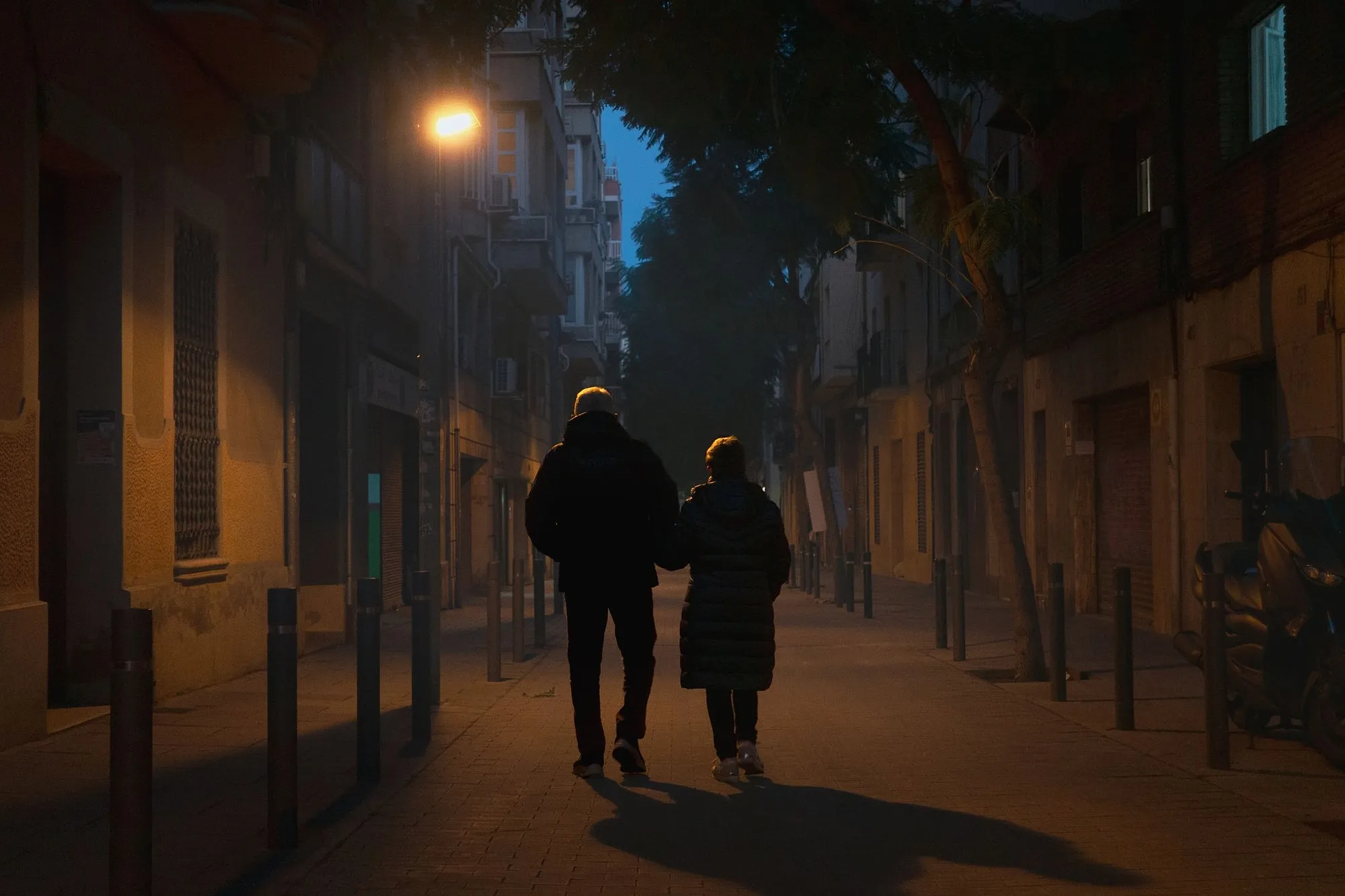
The Gothic Quarter after dark
By day it is a crowded stage set. By night it is a narrow city.
- How long it lasts
- 2 h
- Runs in
- EN · ES · CA
- Price
- 18 €
Never more than 20 people
More in the journal
The Gothic Quarter
- El Call: four streets, a stone that is a copy, and an argument about one building
- Asked which visitors they would like more of, Barcelona picked the ones who come to learn something
- It was a watercourse with a city wall on one side and convents on the other
- The city counted 1,322 shelters, and says the people dug most of them themselves
- Barcelona has the first documented giant in Europe, and almost everything that walks today was carved after 1987
- The square is called Royal because of a monument that was never put up