
Montjuïc
A good part of Barcelona is built on sand that this hill put there
Everyone climbs Montjuïc to look at Barcelona. It is worth one paragraph the other way round: the ground you were standing on this morning exists because of the rock you are standing on now.
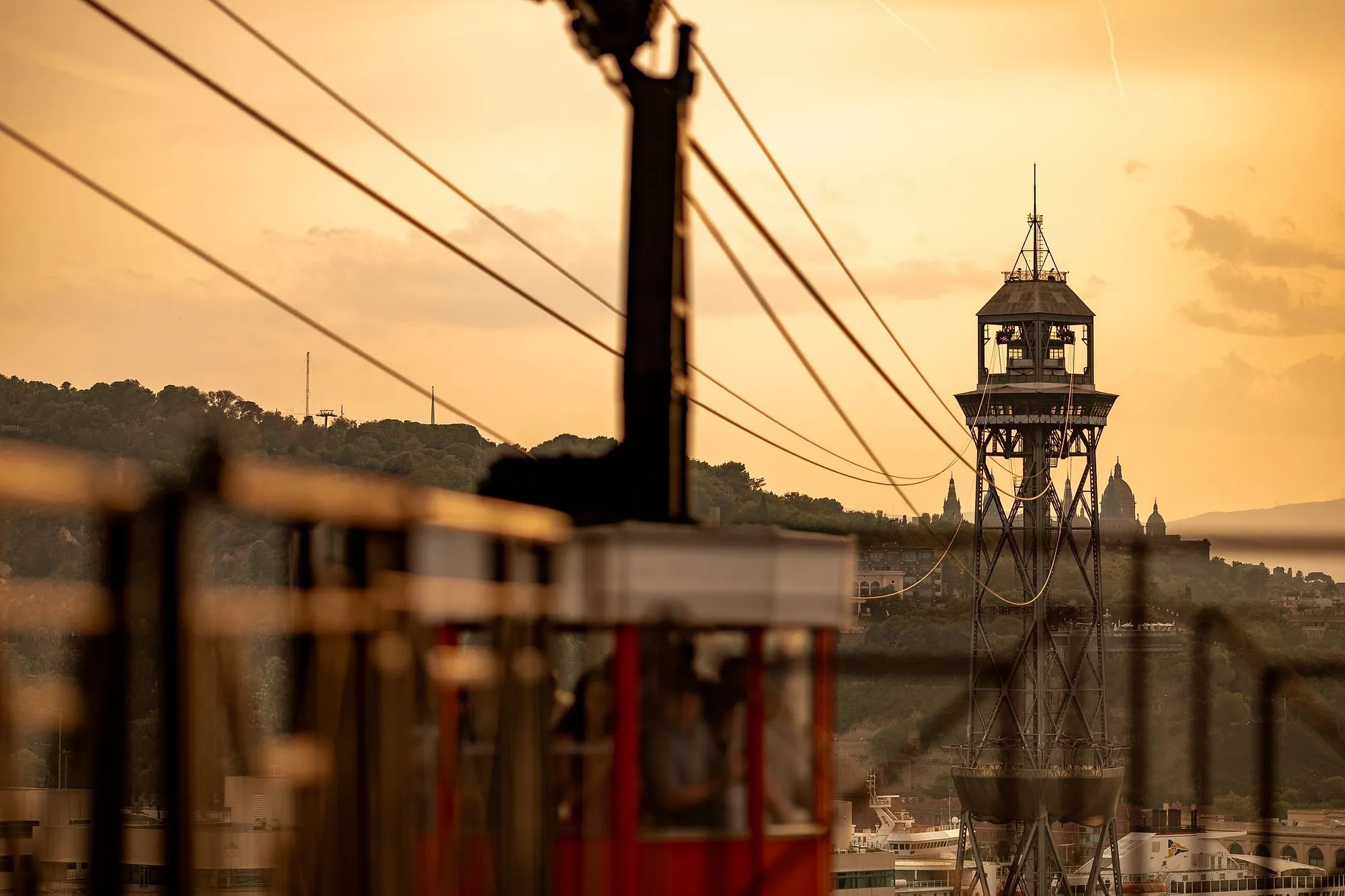
Everybody climbs this hill to look at Barcelona. Almost nobody turns the sentence round.
Here is what the Gran Enciclopèdia Catalana says about the mountain, in the flattest possible geological prose, and it is the most consequential paragraph anyone has written about the city’s shape.
The rock is the wrong rock, and that is the point
Montjuïc is described as an isolated mountain of the Barcelonès, rising 192 metres and dominating the coast road from Barcelona to the Llobregat by means of a cliff.
Its materials are neozoic, marine Miocene — in opposition to the Catalan Mediterranean system, which is the range behind the city. It sits on the eastern edge of the Llobregat delta and it is made of something the rest of the Barcelona plain is not.
That difference is the whole story. Hard rock, in the wrong place, at the water’s edge.
The cliff is a fault, and it keeps going under the sea
a cliff produced by a fault that comes from the seaward slope of the Tàber and continues underwater at the place called the Morrot
Two things in one line.
The Tàber is the little rise the Roman city was founded on — the hill under the cathedral, the one you walk over without noticing in the Gothic Quarter. The same geological feature that gave Barcelona its defensible founding site produces, three kilometres away, the cliff over the port — a port the city had to build from nothing, because the coast gave it no shelter.
And it does not stop at the shore. The fault runs on beneath the water at the Morrot, which is the abrupt corner where Montjuïc meets the port and the point every ship rounds coming in.
The encyclopaedia is even precise about where the hill is steep and where it is not: sheer between the south-west cemetery and the Morrot, gentler between the Morrot and the Foixarda and around the Polvorí and Can Clos. That is a description of every difficult walk on this mountain, written a century before anyone put in escalators.
It was an island
During the Pliocene it was already an emerged islet that became a tombolo with an isthmus of sauló, which — past the turó de la Vinyeta (now Plaça d’Espanya) — reappears as far as Les Corts.
A tombolo is an island tied to the mainland by a bar of sediment. Montjuïc was one, and the bar ran through what is now the roundabout you arrive at from the metro.
Stand at Plaça d’Espanya, which is the least romantic place in Barcelona, and you are standing on the isthmus.
And then it built the ground the city is on
This is the sentence.
this bastion of hard rock — the classic and famous pedra de Montjuïc, of which the main buildings of Barcelona are made until the middle of the 1980s — has been the cause of the formation of the great beaches and sand flats to the east of the mountain, where the sea formerly came in, on which a good part of the present city of Barcelona has been built (the old Ribera quarter, la Barceloneta, el Poblenou, Sant Martí, etc.), and to its west, Can Tunis and the Zona Franca.
Read it slowly. A hard headland interrupts the drift of sediment along a coast; sand accumulates behind it; the sea retreats; and centuries later somebody builds a fishing quarter, then a factory district, then an Olympic village on the result.
La Barceloneta is standing on Montjuïc’s shadow. So is the ground that the Born excavation is dug into. So is most of the flat, gridded, walkable city that visitors think of as Barcelona.
The encyclopaedia adds the other half of the mechanism: the old streams — the riera de Magòria, also called de Valldonzella, and the Riera Blanca or de Santa Caterina — largely filled in the sea’s inlets to west and east of the mountain. Rock caught the sand, and the torrents brought the rest.
Which makes the quarrying a closed loop
The stone came out of this hill and became the city. And the reason there was a city on that spot at all is that the hill had already made the land.
The quarries have their own page — what came out of them, what the holes became, and why we are careful about the dates. What belongs here is the shape of the argument: Barcelona is a hill that turned itself into a plain and was then dismantled to build on it.
And you can see the raw material of that story in the quarry faces. The marine Miocene origin, the encyclopaedia says, is detectable from the fossils that appear in the gaps of the quarries, from which jasper and normally sandstone — the pedra de Montjuïc — have been extracted.
We are not sending you to look for fossils. Old workings are unstable and half of them are fenced for good reason. It is enough to know that the wall you are walking past is a seabed.
What the paperwork does with all this
Two documents, both worth a line.
The planning law that governs the mountain draws its own perimeter geographically rather than administratively: along the edge of the south-west cemetery, the Ronda del Litoral, the Passeig de Montjuïc, the Carrer Nou de la Rambla, round to the Fossar de la Pedrera — 3,379,728 square metres. The boundary of the legal Montjuïc is essentially the boundary of the geological one.
And the city has finally noticed the Morrot. The 2025 plan for the mountain calls it a great opportunity to reconfigure the city’s relationship with the Port, over a space four kilometres long: a first phase led by the Port of Barcelona, stated to finish in 2027, and an extension of the Ronda Litoral at port level by the Ministry of Transport, 98 million euros, on a 2035 horizon. The rest of that plan is here, with the appropriate scepticism about dates.
For two thousand years the Morrot has been the corner where the land stops. It is the one part of the mountain nobody has ever been able to use, and the fault under the water is the reason.
What to do with it, standing at the top
From any of the miradors, give ten seconds each to two things you would otherwise ignore.
Straight down. That cliff is the fault. It is the oldest thing on this hill by several orders of magnitude, older than the quarries, the cemeteries, the castle and the fair put together.
Then east, at the flat part. All of it — the beach, the Barceloneta grid, the towers, the whole shelf the city sits on — is sand that this rock caught.
It is the only view in Barcelona where the thing you are standing on explains the thing you are looking at.
Our Montjuïc walk goes on Tuesday and Thursday afternoons and takes two and a half hours, because the mountain is not a viewpoint. Whether it earns your half day is a fair question with a measured answer, and why the people who live here have not given it up is the other half of it.
We are closed on 25 December and 1 January.
Where this comes from
- MontjuïcGran Enciclopèdia CatalanaThat Montjuïc is a «muntanya (192 m) aïllada del Barcelonès, que domina el camí litoral de Barcelona al Llobregat per un penya-segat produït per una falla que ve des del vessant marítim del Tàber i es prolonga sota l'aigua a l'indret anomenat el Morrot»; that its materials are «neozoics, del Miocè marí, detectable pels fòssils que apareixen als esvorancs de les pedreres, d'on s'ha extret jaspi i normalment gres, la pedra de Montjuïc»; that «durant el Pliocè ja era un illot emergit que esdevingué un tombolo amb un istme de sauló que, passat el turó de la Vinyeta (actual plaça d'Espanya), es retroba fins a les Corts»; that the hard rock «ha estat causa de la formació de grans platges i sorrals a llevant de la muntanya, que antigament entrava dins la mar, sobre les quals s'ha edificat una bona part de la ciutat actual de Barcelona (l'antic barri de la Ribera, la Barceloneta, el Poblenou, Sant Martí, etc.) i a ponent seu, Can Tunis i la Zona Franca», the stone being that «de la qual són fets els principals edificis de Barcelona fins a la meitat dels anys vuitanta del segle XX»; that «les antigues rieres de Magòria (o de Valldonzella) i la Riera Blanca o de Santa Caterina rebliren en una bona part els entrants de la mar a ponent i a llevant de la muntanya»; that the historic Montjuïc «es presenta com un penya-segat de parets abruptes entre el cementiri del SW i el Morrot o punta de Miramar, i més suaus entre el Morrot i la Foixarda o sectors del Polvorí i de Can Clos»; and that the old quarries and the modern development of the hill, «en especial a partir de l'Exposició Internacional de Barcelona del 1929 i dels Jocs Olímpics del 1992», have greatly altered its appearance. The same entry records that documentation about the mountain, «conservada des del 878, l'anomena invariablement Mons Judaicus», and that the «sepultures velles dels jueus» are mentioned from 1091.
- Normes urbanístiques de la Modificació del Pla general metropolità a l'àmbit de la muntanya de Montjuïc (PDF)Generalitat de Catalunya · DOGCArticle 1, which draws the mountain's legal perimeter along the edge of the Cementiri del Sud-oest, the Ronda del Litoral, the Passeig de Montjuïc, the Carrer Nou de la Rambla, the Passeig de l'Exposició, the Passeig de Santa Madrona and on around to the Fossar de la Pedrera, and states that «la superfície global és de 3.379.728 m2».
- Barcelona transformarà Montjuïc i els seus barris en una nova àrea de centralitat metropolitana (26/02/2025)Ajuntament de Barcelona · Servei de PremsaThat the Morrot «representa una gran oportunitat per reconfigurar la relació de la ciutat amb el Port en un espai de 4 quilòmetres de longitud»; that the first phase, led by the Port of Barcelona, was stated to finish in 2027 with a budget of 10 million euros, producing a road at port level for public transport, pedestrians and bicycles; and that on a 2035 horizon the Ministry of Transport would extend the Ronda Litoral at port level with a budget of 98 million euros.
Everything above that carries a date, a figure or a name is checked against these before it is published. Where we could not find a source, the page says so.
Quick answers
- Why is there a hill in the middle of Barcelona's coast?
- Because it is made of different rock from everything around it. The Gran Enciclopèdia Catalana describes Montjuïc as an isolated mountain of the Barcelonès whose materials are «neozoics, del Miocè marí» — marine Miocene — in opposition to the Catalan Mediterranean system, and sitting on the eastern edge of the Llobregat delta. The cliff over the coast road, it says, is «produït per una falla que ve des del vessant marítim del Tàber i es prolonga sota l'aigua a l'indret anomenat el Morrot».
- Did Montjuïc create Barcelona's beaches?
- The encyclopaedia says so directly. This bastion of hard rock «ha estat causa de la formació de grans platges i sorrals a llevant de la muntanya, que antigament entrava dins la mar, sobre les quals s'ha edificat una bona part de la ciutat actual de Barcelona (l'antic barri de la Ribera, la Barceloneta, el Poblenou, Sant Martí, etc.) i a ponent seu, Can Tunis i la Zona Franca». Four neighbourhoods on the east side and two on the west, standing on ground the hill produced.
- Was Montjuïc ever an island?
- In the Pliocene, according to the same entry: «durant el Pliocè ja era un illot emergit que esdevingué un tombolo amb un istme de sauló que, passat el turó de la Vinyeta (actual plaça d'Espanya), es retroba fins a les Corts». An emerged islet that became a tombolo — an island tied to the mainland by a bar of sediment. The isthmus ran past what is now Plaça d'Espanya.
- Where can you see the fossils?
- In the quarry faces. The encyclopaedia says the marine Miocene origin is «detectable pels fòssils que apareixen als esvorancs de les pedreres, d'on s'ha extret jaspi i normalment gres, la pedra de Montjuïc». We are not going to tell you to go looking for them: the old workings are unstable ground and this is a description of what the rock is, not an invitation to climb into a hole.
- How high is Montjuïc?
- The encyclopaedia gives 192 metres. We have not found an institution that publishes a height of its own, so treat that as the encyclopaedia's figure rather than as settled — and treat any page giving you 173 or 177 without a source the same way.
- What is the Morrot?
- The point where the cliff meets the sea, on the port side, and the place the fault continues underwater. It is also, since 2025, the biggest single idea in the city's plan for the mountain: four kilometres of edge between hill and port, with a first phase led by the Port of Barcelona stated to finish in 2027, and a Ronda Litoral extension at port level by the Ministry of Transport at 98 million euros on a 2035 horizon.
- Does any of this change what to do on a visit?
- It changes where you look. From the Mirador, most people photograph the city and the port. The two things worth ten seconds each are the cliff directly below you — which is the fault — and the flat ground running east, which is the sand. Everything you walked through yesterday is on it.
The tours this piece is about
More in the journal
Montjuïc
- The gardens on Montjuïc are the reason people who live here come up the hill
- The floor of this terrace is 420 square metres of scrap, and it is not by the man everyone credits
- The city tells you who carved the cat and will not tell you why the fountain is called that
- How high is Montjuïc? No institution in Barcelona will tell you
- The old city is made of the hill, and the hill has the holes to prove it
- Formula One raced through this park four times, and no institution in Barcelona records how it stopped